From negotiating access to conflict zones to ensuring that essential medications remain refrigerated in places without electricity, Doctors Without Borders/Médecins Sans Frontières (MSF) logisticians contend with innumerable obstacles in order to help teams provide care to patients. But in some project locations, simply finding those patients can be the greatest logistical challenge of them all. Here, Pete Masters, the project coordinator of MSF’s Missing Maps project, explains the initiative that is quite literally putting patients on the map.
What is the Missing Maps Project?
MSF has long struggled with a lack of freely accessible mapping data. Many of the world’s most vulnerable people live in communities that have never been mapped. If you looked at the Google map of Bangassou Prefecture in Central African Republic, for example, you’d be forgiven for thinking that no one lives there. In reality, thousands of people live there.
If you’re trying to respond to a cholera outbreak and you have map data and patient data, you can visualize the location and concentration of cases. The aim of the Missing Maps project is to provide that map data in order to make epidemiology, logistics, and resource allocation better, smarter, and more effective.
An open collaboration between MSF, the American Red Cross, British Red Cross, and the Humanitarian Open Streetmap Team (HOT), Missing Maps has in its first year put over five million people from some of the most vulnerable communities in the world on the map. Missing Maps data has already been used by MSF and other NGOs to increase the effectiveness of their lifesaving work.
How did Missing Maps Start?
The idea came from Ivan Gayton, an MSF head of mission who worked in Haiti in 2010, during the cholera outbreak. He was getting requests for help in places where they had a lot of cases, but he didn’t know exactly where these places were—he only knew names and general areas. He sent teams to respond, and they’d reach a village with loads of cholera cases, but would learn that it was not the village that had requested help. They’d go to another and the same thing would happen, until they found the village that had actually requested aid.
Gayton realized that he was making important resource allocation decisions about where to send treatment and staff based on little hard evidence. Without an accurate map, he couldn’t plot the number of cases, find where requests were coming from, or figure out how best to intervene. Missing Maps was born as a way to solve this problem, and to address the chronic deficiency in geographical data in places where MSF operates.
How does it Work?
The process is three-fold: First, you take satellite or aerial imagery of a place you want mapped, then you get volunteers to trace the features they see—roads, buildings, rivers, etc. It depends on what the map will be used for.
Second, you take that data they create—the tracing they’ve done— and enter it into OpenStreetMap, a service that’s like Google Maps crossed with Wikipedia—an online, searchable map database created and maintained by its users.
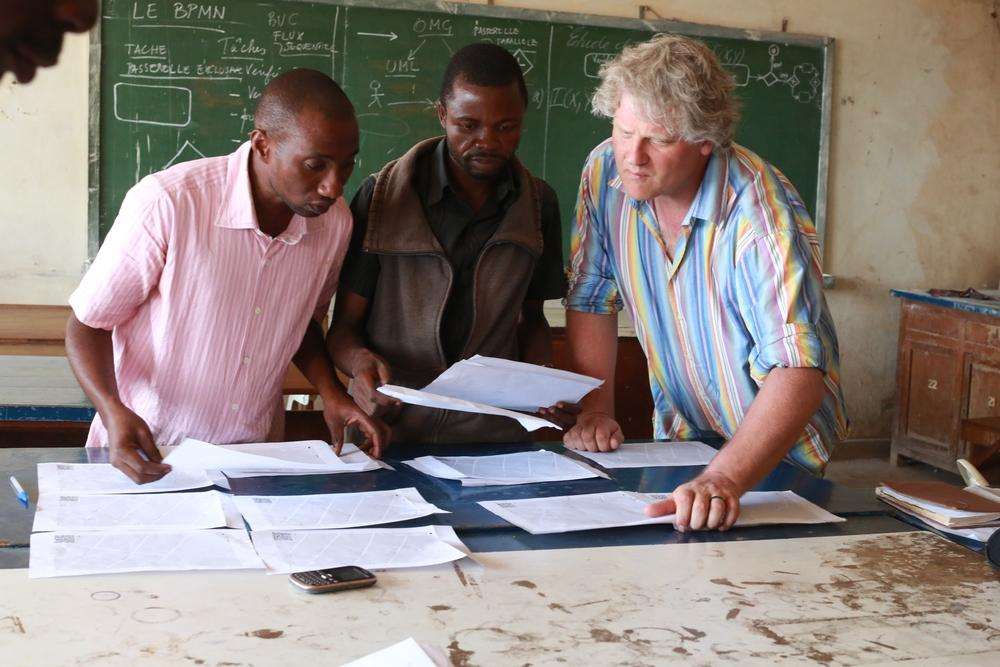
Finally, that data is taken to the field, where local people help MSF and other NGOs by adding their firsthand knowledge to the data. This could be road names, landmarks, administrative divisions—whatever it takes to make that map something we can use to find and plot patients.
How does MSF use this Information?
As an example, we’re currently mapping Lubumbashi, in Democratic Republic of Congo, where we want to pilot a cholera management tool. The idea is that we’ll be able to combine the geographical data with patient data from our clinics and produce a dashboard that shows how the area’s frequent cholera outbreaks move, where they come from, and where they’ll go.
How can Volunteers get Involved?
Volunteers make this possible. Missing Maps volunteers have already helped MSF reach malnourished people in South Sudan, and tackle malaria in Chad.
To get involved, visit missingmaps.org and click on the “Map now” button. You can watch training videos to learn how to use OpenStreetMap or get started if you already know. If you want to find a community mapping event—a “Mapathon”—in your region, visit the “Events” section, or reach out to our New York events team at [email protected].


